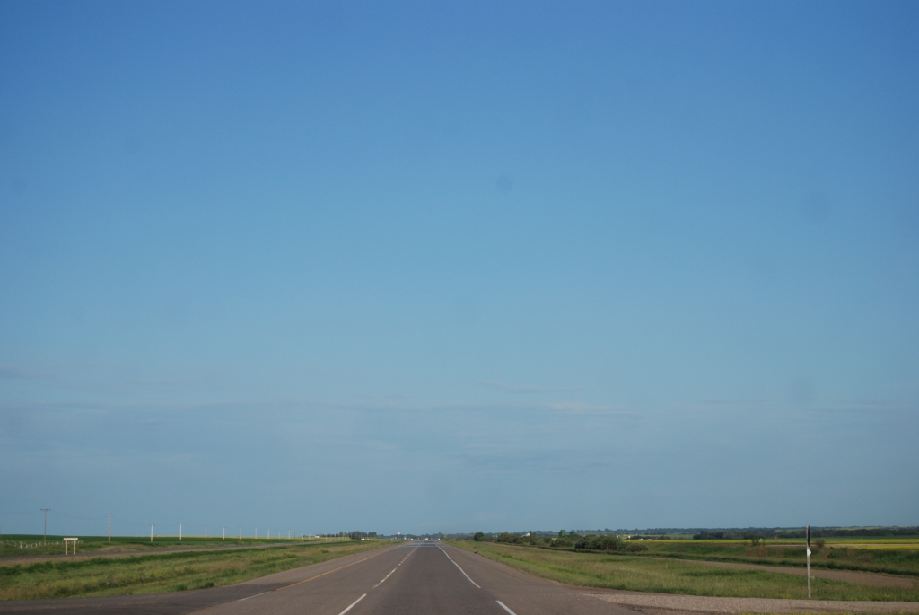
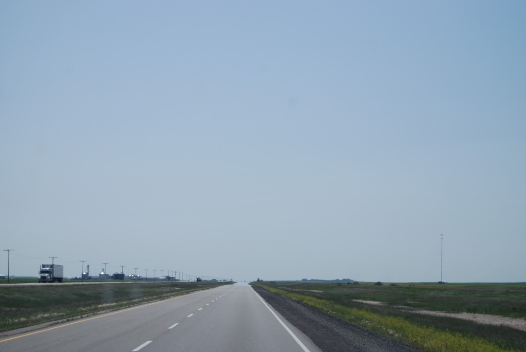
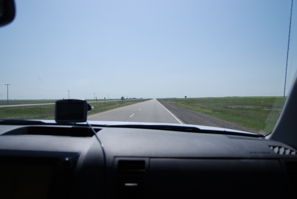
When you drive from sea to shining sea on the Trans-Canada Highway leaving from one coast or the other, and hit either central Alberta from the west or Manitoba from the east, you hit flat. You hit relentless, unchanging flat for many hundreds of miles. So much flatty flatness of flat that you fall into a sort of flatness-shocked daze.
It’s very, very flat.
I mean, the Big Sky is nice, and all, but…
My uncle used to tell about driving across the prairies, and he would say, “You just start to ask yourself, ‘Did no one think to plant a tree?’” The Trans-Canada flatness leads many travellers with whom I’ve spoken to assume that the prairie provinces as a whole are a barren wasteland of mercilessly tedious landscapes.
I submit as evidence some passenger-seat photos from previous X-Canada road trips with the Mister, during which the flatty flatness spanned approximately 12 hours of time on the road:
Thing is, if you venture a hundred km north or south of the Trans Canada, the prairie geography morphs into varied panoramas of stunningly beauty. Cypress Hills Provincial Park, Grasslands National Park, Riding Mountain National Park, Spruce Woods Provincial Park – none of them could be described as either flat or tedious.
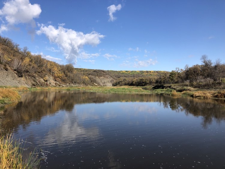
Another case in point would be the Souris River Bend Wildlife Management Area in southwestern Manitoba.
Just under a year ago, I stumbled across the Friends of Souris Bend Facebook group. Over the subsequent months, the very pretty photos that would pop up on their page got me all intrigued about this place I’d never heard of. I’m always keen to find at least one or two new places to explore when I’m on my road trips, so I added Souris Bend to my west-east itinerary as a potential camping option.
Camping at a Manitoba Wildlife Management Area – real estate that is not provincial parkland but rather designated crown land set aside “for the better management, conservation and enhancement of the wildlife resource of the province” – is free, but requires a permit, which can be applied for online (see Camping Notes below). I was originally going to head for the Middle Camp, but some intel from the Facebook page admin suggested that, given the rainy forecast and the possibility that the clay road to Middle Camp would become impassable, South Camp might be a better option.
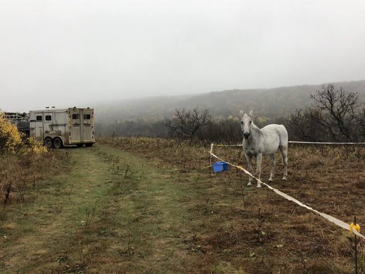
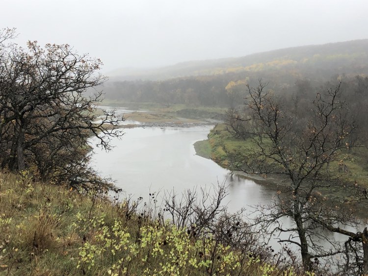
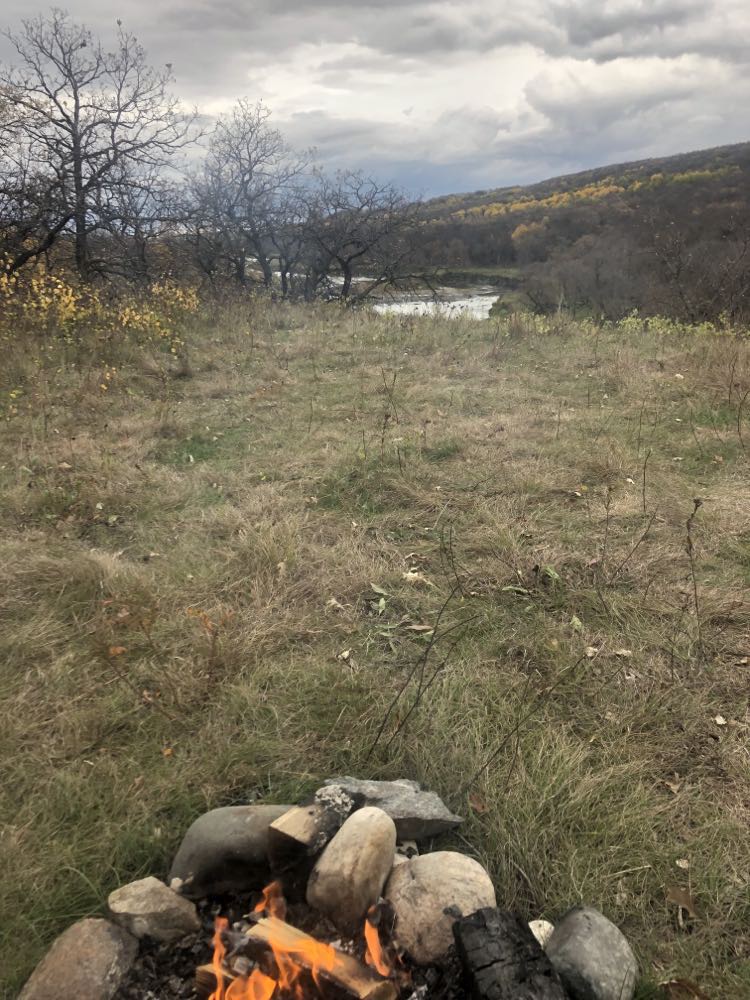
We pulled in to the empty camp – “camp” being a somewhat hyperbolic term for what consists of a map and an outhouse in a field of prairie grass – in the early afternoon. A silent drizzle enshrouded the place in misty white silence. A hundred yards or so distant from the sign, tucked around the back side of a clump of alders, we found a picture-perfect campsite: someone had built a stone fire pit on an escarpment that overlooked the Souris River.
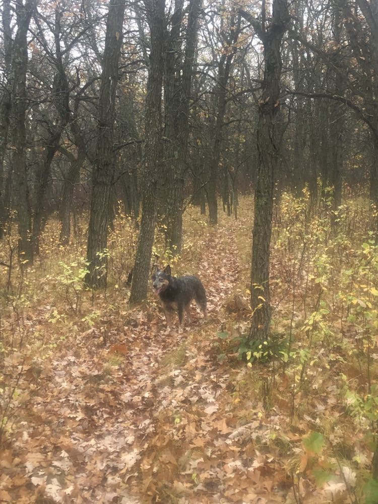
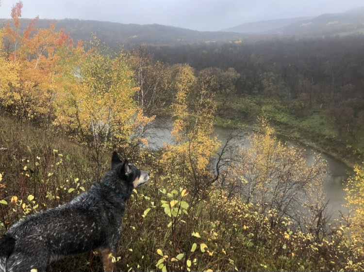
Normally, having had a short haul to camp and with the whole afternoon ahead of me, I would saddle up and head out for a short stretch-your-legs jaunt on the horse. But with the weather being uninspiring, and Spy being under-exercised, I decided – after spending a half hour or so cleaning the layer of caked-on clay off all the high-touch parts of my rig – to take the pooch for a spin instead. We trudged along under the dripping sky for an hour or so, scoring views of the river that were gorgeous even on a wet grey day.
The next day dawned cool but fine. I was in no hurry to climb into the saddle before the sun warmed the air a bit, so by the time Pai and I hit the trail, it was close to 10 a.m. After struggling on the previous day’s dog walk to figure out why the river’s course wasn’t what it looked to be on the map, I’d figured out that the “You Are Here” pointer on the map was not anywhere near to where we were – it was indicating a spot about 400m northeast. That vital tidbit of information at hand, I had a good sense of the lay of the land. The trail marking was superlative, and I had no trouble navigating a route that looped us 20-some kilometres north, crossing and re-crossing the river at the indicated fords.
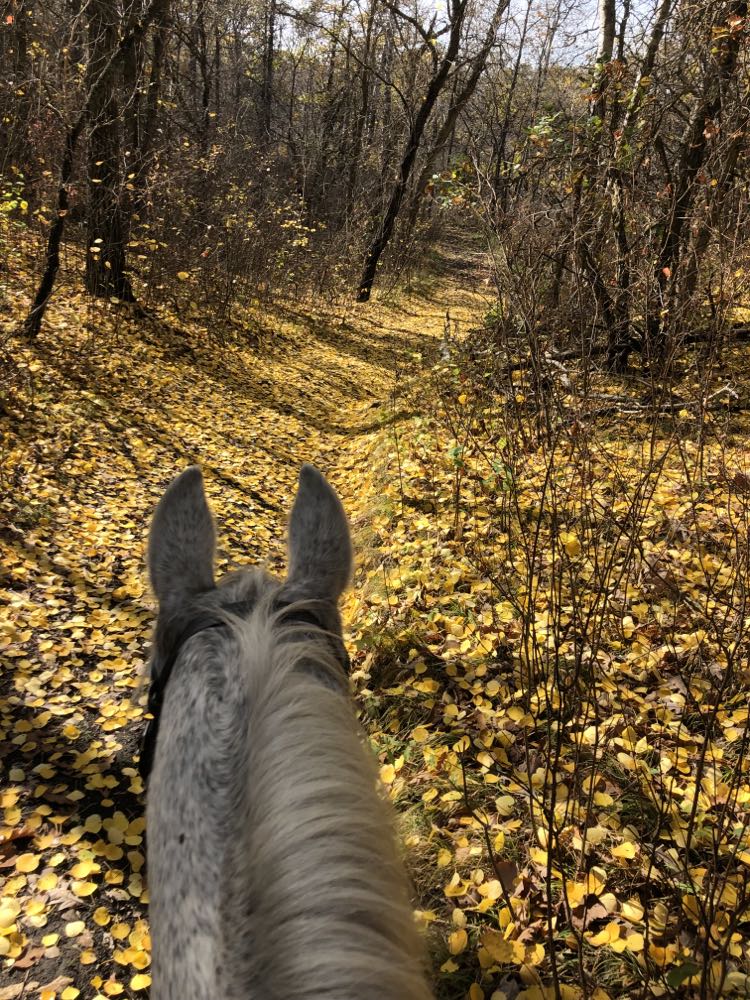
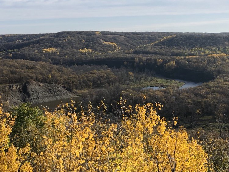
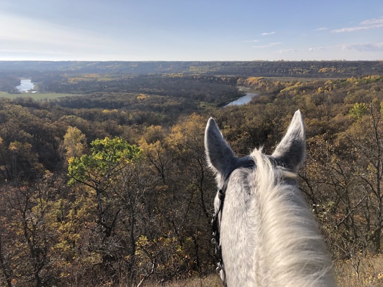
From the very moment we set foot on the trail, our Souris Bend ride was a delight. Our 4 ½ hour route wound through rolling hills, descended through mixed forest to the riverside, and climbed to expansive views over the river. Although much of the forest was already leafless, the aspens were still cloaked in gold, making for a gilded carpet on the paths where they’d dropped their foliage.
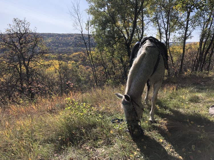
The northernmost point we reached on the ride was the sunny top of Amphitheatre Hill, which, on that 18C day, made for a near-summery lunch spot.
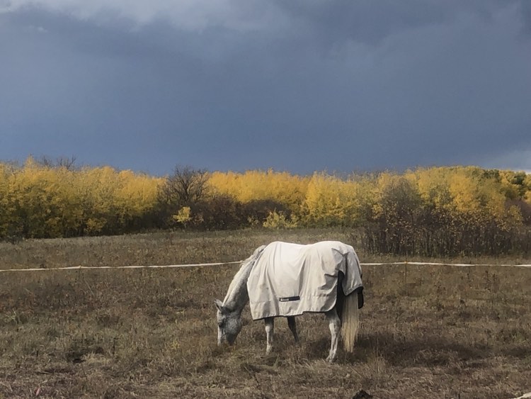
Very soon after arriving back at camp, having met no one else on the trail, the skies closed in once again – I’d just thrown Pai’s blanket over her back when the drizzle began anew. In the almost-dry spells between the half-hearted showers, I managed a bit of chill time at my campfire with its stunning view over the river, and even succeeded in cooking my dinner outside without getting drenched, but ultimately, the rain won. I packed it in early and retreated to my “living quarters” for most of the evening.
When I pulled up stakes the following morning, I was wishing the weather and timing had co-operated better for a longer stay: if Souris Bend were a movie, it would be a cult classic – a little-known gem that spawns ardent appreciation among its devotees. There are few such flawless trail systems in all of Canada – I’m looking forward to visiting again.
Camping Notes for Horsey Folk
No permit is required for day riding in the Souris River Bend WMA.
Had I not joined the Friends of Souris Bend Facebook group, I would have been utterly unaware of the requirement for a camping permit, since information regarding camping in WMAs is tricky to find on the government website or via Google search. I was also forewarned that the permit can take a month to process, and so I submitted my request in late August, specifying a vague camping date range (mid-to-late September). It took a few follow-up phone call a few weeks later while driving through The Lands of Crap Cell Service (Northern Ontario) before I finally received a verbal OK for my plan the day before I was driving out to Souris Bend – my actual emailed permit arrived several days after I’d been and gone. (I must say that the folks at the government office are very nice, so if you’re having troubles, don’t hesitate to call!)
Main line (Parks information): 1-800-214-6497 or 204-945-6784
An online application form for Wildlife Management Area Use can be found here (scroll down to WMAA-Wildlife Management Area Use Permit Application in the Wildlife section, and click on “Apply”). As their website currently stands, you must go to your cart after submitting the form in order to complete your application.
There are 3 campgrounds at Souris Bend: North, Middle, and South. Camping is free. All of the camps feature an outhouse and a map. There is no potable water and there are no pens, nor is there much opportunity to highline unless you set up your line between two rigs.
The reason Middle Camp was my original destination was that it offers loops departing both northward and southward, and I was originally hoping for good weather and two days’ riding. Middle Camp’s mile-and-a-half road in becomes impassible after heavy rain. There is no cell service at Middle Camp. I rode past it on my route, and it is a very large flat field adjacent to the river, with easy access to the water. The “You Are Here” pointer on the map is correct.
South Camp is adjacent to the road, and can be accessed in inclement weather. It is located high above the river (no easy access but you can climb down a very steep path on foot – not suitable for horses) and so you must bring horse water. There is sketchy cell service at South Camp. The “You Are Here” pointer on the map is incorrect.
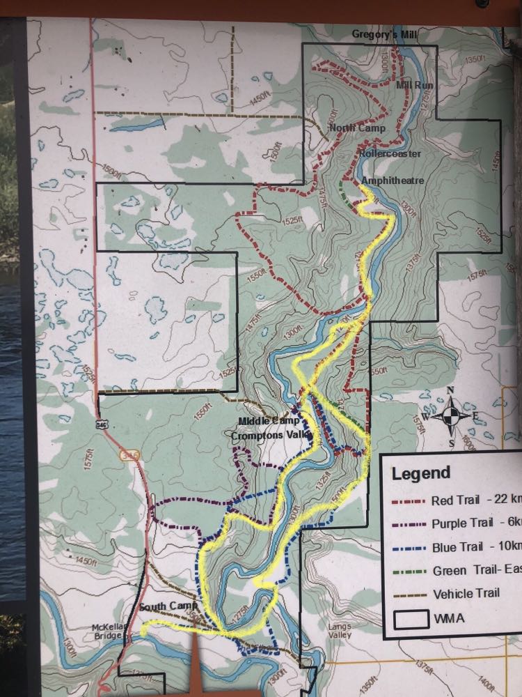
I did not visit North Camp. It is, from what I was told, accessible in rainy weather, and has cell service. From the map it appears to be well away from the river.
The trails are mostly wide grassy or sandy tracks, with some offshoots that are winding single-track; all of the few trails that are very steep appear to have easy go-arounds. The footing is excellent and is suitable for barefoot horses. The river crossings are well-marked, including entry and exit points on each bank. Trail signage and mapping are near-perfect. Trail maintenance was outstanding.

So neat to see/ read about. Would they need to do much trail maintenance to keep it wide open and grassy? Or is there a lot of game keeping the trail well used/ groomed? Thanks for sharing your voyage!
There are volunteers who work on the trail regularly. I gather from recent FB posts that there are new rules in place in the park, and that work originally done with large machinery (mowers) can now only be done with handheld tools.